
Blog
How Much Does a Topographic Survey Cost in Louisiana?
Key Takeaways
- A topographic survey in Louisiana typically costs between $500 and $1,500 for a small residential lot, and $2,000 to $10,000+ for larger commercial or development parcels — acreage, terrain, and required detail drive the price.
- Cost is influenced by parcel size, vegetation and access, the contour interval you need, whether utilities must be located, and how quickly you need the deliverable.
- In South Louisiana, dense vegetation, wetlands, and a high water table can add field time, so local surveying experience directly affects both accuracy and price.
- A topographic survey is different from a boundary survey or construction staking — knowing which one your project needs prevents paying for work you do not require.
How Much Does a Topographic Survey Cost in Louisiana?
A topographic survey in Louisiana generally costs $500 to $1,500 for a small residential lot and $2,000 to $10,000 or more for larger commercial sites and development tracts. The price depends mostly on acreage, how much vegetation and terrain the crew must work through, and the level of detail your engineer or architect requires. Most surveyors quote either a flat fee for a defined parcel or a per-acre rate for larger sites.
There is no single fixed rate because every site is different. A flat, mowed half-acre lot in Youngsville with clear access is a fraction of the cost of a heavily wooded 40-acre tract near New Iberia that requires clearing sightlines and wading through wetlands. When you request a quote, a reputable firm will ask about the property size, location, and intended use before giving you a number. At Hensgens Trahan Engineering Consulting, survey pricing is scoped to the specific parcel and the engineering work it will support.
What Is a Topographic Survey and When Do You Need One?
A topographic survey is a detailed map of the natural and man-made features of a property, including elevations, contours, slopes, trees, buildings, drainage features, and existing utilities. Unlike a boundary survey, which establishes property lines, a topographic survey shows the shape and surface of the land — the data an engineer needs to design drainage, grading, and site layout.
You typically need a topographic survey before designing a new subdivision, commercial site, building pad, or drainage system. In Lafayette Parish and across Acadiana, the survey forms the foundation for drainage impact analysis, cut and fill calculations, and the construction plans that local agencies review. Skipping it or using outdated data is one of the most common causes of redesigns and permit delays. If you are planning any kind of land development or site design, the topographic survey is almost always the first technical step.
What Factors Affect Topographic Survey Cost?
Several variables determine where your survey falls in the price range. Understanding them helps you budget accurately and compare quotes fairly between firms.
Parcel Size and Shape
Acreage is the single largest cost driver. A small lot can be surveyed in a few hours, while a multi-hundred-acre master-planned community requires days of field work and extensive data processing. Irregular or long, narrow parcels also take more time per acre than compact, square ones.
Vegetation, Access, and Terrain
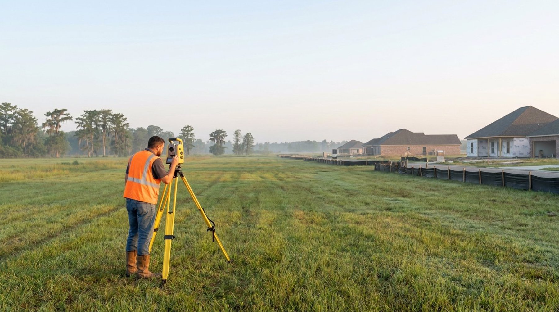
Dense brush, mature trees, and wetlands slow a survey crew significantly because they must clear sightlines and physically reach each shot. South Louisiana's wooded and low-lying parcels frequently fall into this category. Difficult access — locked gates, ditches, or no road frontage — adds time as well.
Required Detail and Contour Interval
The tighter the contour interval (for example, one-foot versus two-foot contours), the more data points the crew must collect. Projects with sensitive grading or drainage requirements need denser data, which increases cost but produces a more reliable design.
Utility Location and Deliverable Format
Locating and mapping existing underground utilities, storm structures, and sanitary lines adds scope. Specialized deliverables — CAD files in a specific format, digital terrain models, or integration with FEMA flood data — can also affect the final fee.
Topographic Survey vs. Boundary Survey vs. Construction Staking
These three surveys serve different purposes, and confusing them is a common and costly mistake. A topographic survey maps elevations and surface features for design. A boundary survey establishes the legal property lines and corners. Construction staking comes later — it physically marks the engineer's design in the field so contractors build in the correct location and to the correct grade.
Many development projects need all three at different stages: a boundary survey to confirm what you own, a topographic survey to design the site, and construction staking once approved plans are ready to build. Paying for a topographic survey when you only need a boundary survey — or vice versa — wastes money, so it is worth confirming the correct scope with your surveyor before work begins.
Why Local Surveying Experience Matters in Acadiana
In South Louisiana, the flat terrain, high water table, and frequent wetlands make accurate elevation data critical and field conditions challenging. A surveyor who works in Lafayette, Broussard, and the surrounding parishes every day understands how subtle grade changes affect drainage on coastal-plain soils and how local agencies expect survey data to be presented.
That local knowledge also streamlines the engineering that follows. When the same firm handles surveying, drainage analysis, and permitting, the survey is collected with the downstream design in mind — the right detail, the right datum, and the right format. Hensgens Trahan Engineering Consulting provides full-service surveying and civil engineering across Acadiana, which removes the gaps that appear when separate vendors hand work off to one another. To discuss a survey for your property, contact our Lafayette office or call (337) 443-0920.
Frequently Asked Questions
How much does a topographic survey cost in Louisiana?
A topographic survey in Louisiana typically costs $500 to $1,500 for a small residential lot and $2,000 to $10,000 or more for larger commercial or development parcels. The final price depends on acreage, vegetation, access, required contour detail, and whether utilities must be located.
How long does a topographic survey take?
A small residential lot can often be surveyed in a single day, with the drawing delivered within one to two weeks. Larger or heavily wooded tracts in Acadiana may require several days of field work and additional time for data processing, depending on the level of detail required.
What is the difference between a topographic survey and a boundary survey?
A topographic survey maps elevations, contours, and surface features so engineers can design grading and drainage. A boundary survey establishes the legal property lines and corners. Many development projects in Lafayette Parish need both, but at different stages of the process.
Do I need a topographic survey before developing land in Lafayette?
Yes. A topographic survey is almost always the first technical step before designing a subdivision, commercial site, or drainage system. It provides the elevation data engineers need for grading, drainage impact analysis, and the construction plans local agencies review for approval.